
Three wins for West Seattle and one for Georgetown-South Park in the City’s Neighborhood Street Fund grants.
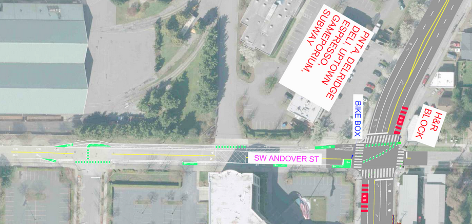
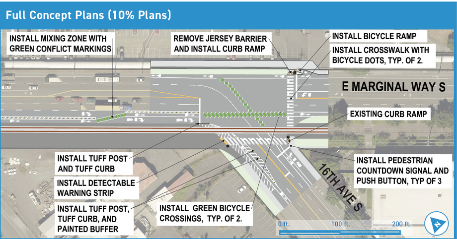
You can now see the 10% design concepts illustrated, and can submit comments of support or criticism to SDOT by January 31.
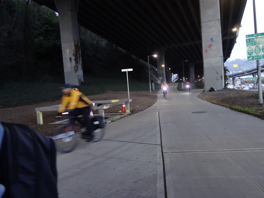
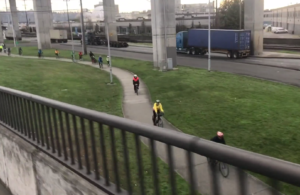
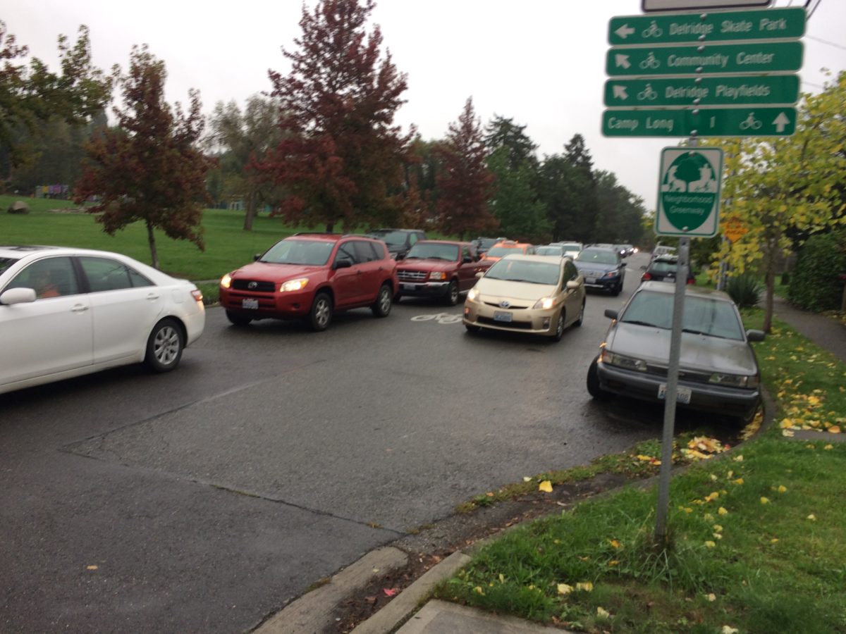
The “Delridge Neighborhood Greenway Safe Connections” project for SW Andover from 26th to Delridge, and on to the bridge trail, includes what we asked for and a little more. It will help make riding on the 26th Ave Greenway a viable alternative to Delridge. Installing a guardrail on the path leading to the West Seattle Bridge Trail will further separate people walking and biking from traffic at a narrow point in the trail.
Projects on SW Barton at Delridge Way and at 25th SW will make it a lot more safe to cross that busy street near Westwood Village and on a walking/biking route to White Center.
The South Park and Georgetown Safe Connections project will improve visibility and safety for riding bikes on busy truck routes at East Marginal Way S and 16th Ave S. That’s on the route to/from Georgetown using the 14th Ave (South Park) Bridge. We’ve submitted comments that the project really should include a marked bike mixing zone for north/eastbound 16th Ave too, not just for south/west bound East Marginal Way. More comments would help send that message. This is an important West Seattle bike connection to south Seattle.


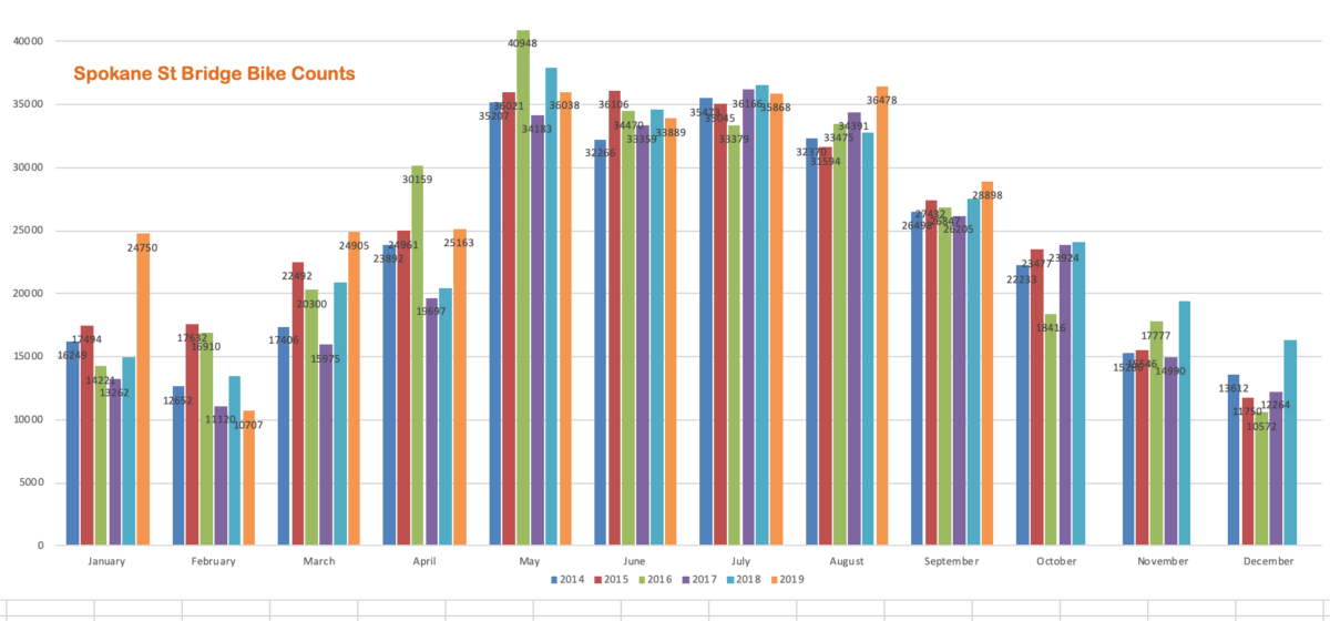

The Mayor’s draft 2020 budget is out, and it recognizes the importance of funding for bike and pedestrian safety projects and transit service. It’s good news. Advocacy with the MASS coalition is having an effect. But let’s not declare “mission accomplished” just yet.
It’s a step forward — to where we were in 2016.
This does not get us all the way back to where the Bicycle Master Plan implementation plan was in 2017, much less to the 2018 draft that the Mayor never accepted, that would have helped under-served areas of south and southwest Seattle catch up.
Deleted on the 2019 implementaton plan map were previously included routes on S Orcas, Beacon Ave S, SW Roxbury, Sylvan Way SW/SW Orchard, Fauntleroy SW, East Marginal Way south of S Spokane, and a segment on the new West Seattle greenways at the hardest part, at the Morgan Junction. The map still shows “Existing Bike Facilities (Excluding Sharrows)” where there are only painted stripe climbing lanes. An example is Sylvan Way SW/ SW Orchard, where an uphill-only lane appears, disappears, appears and disappears again on a key east-west route from South Delridge to High Point.
At this rate of progress, Seattle will not reach its goal to build out the Bicycle Master Plan’s “Citywide” network by 2030 and the rest of the network by 2035. Transit service is improving, but Pedestrian Master Plan progress is bogged down. It is not just a coincidence that Seattle isn’t hitting it’s Climate Action Plan targets either.
Our “corrected” map is here: