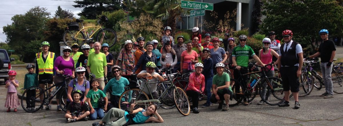
We support the Admiral Way Safety Project .
Several of our members live on the west slope of Admiral Way SW. We share the concerns of our neighbors for the safety of our parked cars. But we are more concerned about the lives and personal safety of the people who walk and ride bikes everyday in danger from speeding vehicles.
We want to see the SDOT plan implemented.
The primary objective is to slow down speeding car traffic, for the safety of all users of the street, including people riding bikes, people walking across to or from their bus stop or car, and kids and parents walking to the beach and to schools and playgrounds at Alki Elementary and Madison Middle School.
Loss of free on-street car parking is a concern for people on a few blocks of Admiral. It is due to people parking across the street to protect their cars from being hit by drivers who lose control on the curves below Schmitz Park. The posted limit is 30 mph, with a warning sign to slow to 20 mph on that curve, but due to the very wide lanes, many drivers are going 40 mph. On days like Saturday when the Pirates came ashore, visitors to Alki were parked all the way to Schmitz Park Bridge. But on Sunday, just as nice a day, there was plenty of open parking on street from 60th SW up the hill. The crowded days here are like normal days for parking a car on Capitol Hill or lower Queen Anne.
Adding bike lanes is a way to narrow the general purpose lanes and center turn lanes to minimum 11 and 10 foot widths. To get the bike lanes wide enough to be safe from door zone danger, a parking lane has to be subtracted to fit the available roadway width. With houses fronting on only one side of the street most of the way along the hill, this should not be too much of a problem. If the speeds are actually reduced, then people will not be so hesitant to park in front of their houses on the north side. It should be a win for everyone. However, if it does not work out that way, this is just paint. It can be adjusted easily.
 Some commenters have embraced greenways parallel to Admiral as the solution to go from Alki to California Ave SW. They are not looking at the map or trying it. Admiral is at an angle most of its length. There are no streets parallel to Admiral. There are no east-west streets that actually go through from Alki to Admiral Junction because of the steep slopes. It’s a beach bluff and a glacial moraine ridge beyond.
 Admiral is at an angle because it provided an easier slope for a truck hauling route, and that’s why it works for bike riders, too, and that’s why it is included in the Seattle Bicycle Master Plan 2014 update map as a bike route with “In Street Minor Separation” – bike lanes. The west slope of Admiral Way has steady bike traffic, but lot’s more would use it if there were bike lanes and slower traffic speeds.


